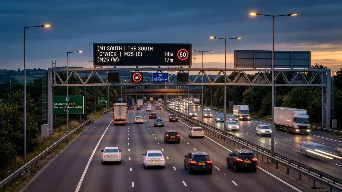
Architecture of the UK Strategic Road Network (SRN)
The English Strategic Road Network encompasses approximately 4,500 miles (7,240 km) of motorways and major trunk A-roads managed by National Highways on behalf of the Department for Transport. While accounting for only 2% of England’s total road length by mileage, the SRN carries more than 34% of all motor vehicle traffic and over 68% of all heavy goods vehicle (HGV) freight movement.
Datex II XML Integration
Polls official Traffic England and Regional Operations Centre incident feeds every 15 minutes, identifying active carriageway closures and lane restrictions.
STATS19 Safety Baseline
Aggregates 5-year certified Department for Transport collision reports, providing verified casualty severity rates and historical blackspot intelligence.
Strategic Diversion Routes
Documents designated Emergency Diversion Routes (EDR symbols) mapped to guide commercial freight safely around closed motorway sections.
Maintaining fluid operational capacity across this infrastructure is essential to the national economy, supporting supply chains between deepwater container terminals like the Port of Felixstowe and logistics distribution hubs concentrated along the central English motorway spine (M1, M6, M5, and M25 corridors).
Real-Time Datex II Incident Ingestion & Emergency Monitoring
Operational incident data broadcast through this radar is ingested via the European Datex II XML standard protocol. National Highways Regional Operations Centres in Godstone, Wakefield, Birmingham, Nottingham, and South Mimms monitor thousands of inductive MIDAS loop sensors embedded in carriageway asphalt alongside pan-tilt-zoom CCTV cameras.
When an unplanned obstruction or vehicle collision occurs, our platform captures the exact junction-to-junction spatial bounds, affected directional carriageway (Northbound, Southbound, Clockwise, or Anti-Clockwise), and assigned incident severity tier within 15 minutes of official verification.
Department for Transport (DfT) STATS19 Safety Baselines
In addition to real-time incident broadcast, each monitored corridor incorporates 5-year aggregated casualty intelligence derived from the Department for Transport’s certified STATS19 national database. Under the Road Traffic Act 1988, all road collisions involving personal injury reported to police forces are recorded with standardized geographic coordinates, weather variables, and severity classifications.
This dual-tier architectural model bridges the gap between immediate navigational urgency (determining if a route is passable today) and long-term infrastructure risk awareness (identifying recognized collision blackspots and weather-induced accident clustering).